Tactical Incident Map
Operational-level fire mapping · suppression features · entity tracking
Overview Mode
8 incidents on map
Click a marker to select an incident
Visibility Controls
Tactical Feature Types


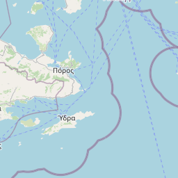


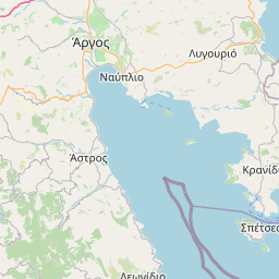

Leaflet © OpenStreetMap contributors
Severity
critical
high
medium
low
Tactical Features
🔥 Fire Perimeter
🪓 Fire Break / Line
🛡️ Safety Zone
🏕️ Staging Area
💧 Water Source
🚁 Helispot
🏃 Escape Route
⚠️ Values at Risk
👥 Deployment Position
Entities
👤 Responder
🚁 Drone
Geofence Zone
14
Total Incidents
7
Active
10
Responders Live
5
Geofences